Cartographie de la Ligne Maginot

Filtres actifs Tout effacer

Aucun filtre actif.

Jeu de données affiché :

enregistrement
Filtres
x

enregistrement

Filtres

Description

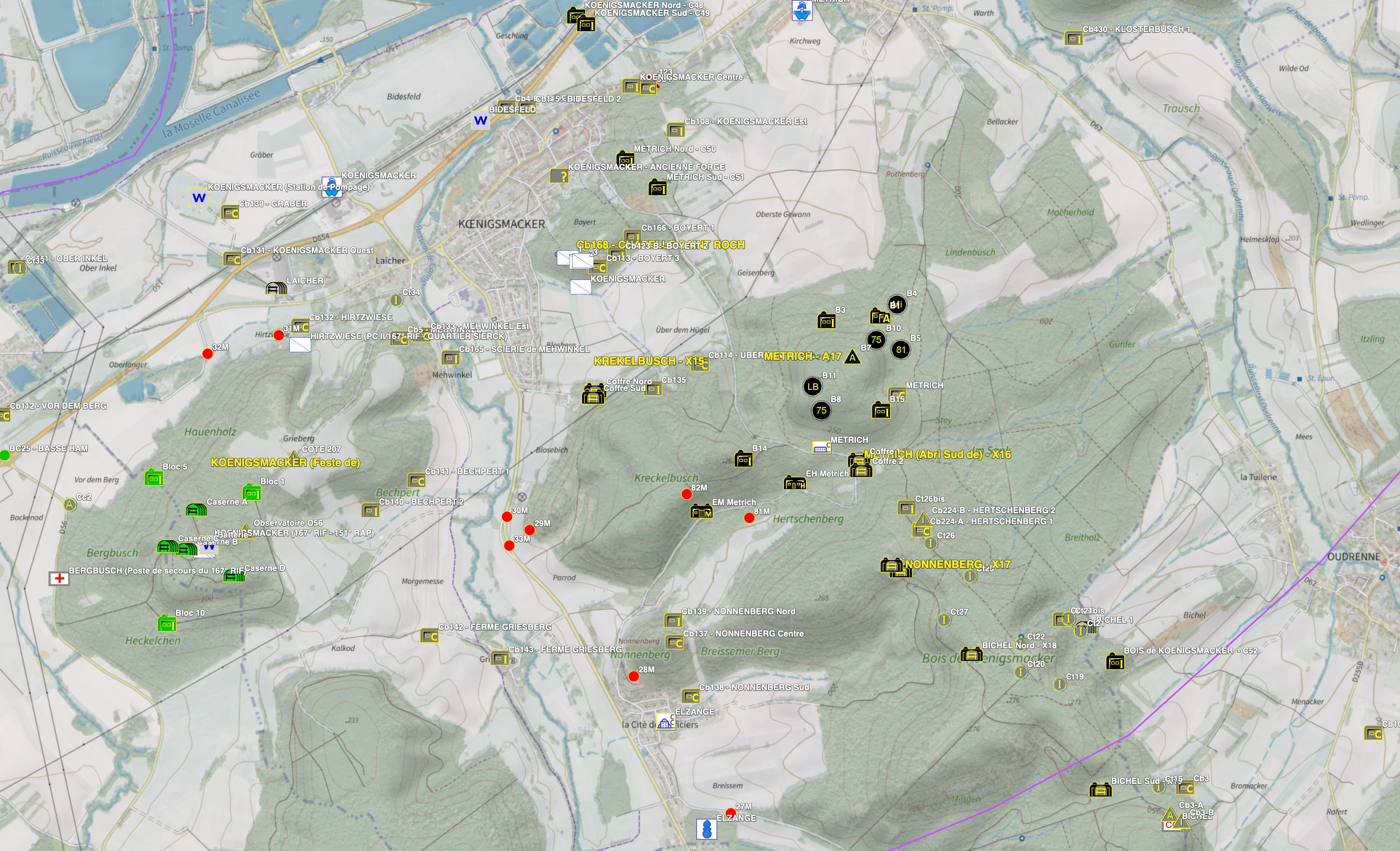
Cartographie des constructions établies dans le cadre du système de défense des frontières (1925 - 1940). Un lien est proposé depuis la cartographie vers une fiche détail pour chaque objet géo-reférencé. Un sous-ensemble du jeu de données ne reprenant que les sites ouverts au public est également proposé.

Des exports de données spécifiques sous forme DumpSQL permettant l'intégration dans un SIG peuvent être réalisés pour des partenaires publics sur demande à l'association Wikimaginot.

Pour tout complément d'information : cf. https://wikimaginot.eu

Limites techniques d'usage

Aucune limite technique d'usage des données renseignée

Licences et conditions d'utilisation

  • Réutilisation libre sauf utilisation commerciale - Licence CC BY SA NC (https://creativecommons.org/licenses/by-nc/4.0/legalcode.fr)
  • Mention obligatoire de la source sous la forme Source: wikimaginot.eu

Méthode de production et qualité

Sources : Données issues de cartes renseignées et-ou de vues aériennes et-ou de relevés sur le terrain Fiabilité : La fiabilité est fonction des sources et vérifications in-situ et est améliorée en continu. L'indication de la fiabilité est donnée dans la fiche détail liée à chaque objet référencé. Exhaustivité: 13 876 constructions référencées (Nov 2011). Il est estimé que plus de 90% des constructions sont géoréférencées. De 10 à 50 ajouts sont faits chaque mois.

Informations géographiques

Type de représentation: non renseignée

Etendue géographique:

  • Ouest: 4.02
  • Est: 5.39
  • Sud: 49.22
  • Nord: 50.16

Système de projection: non renseignée

Echelle: non renseignée

Résolution: non renseignée

Mots clefs

AMENAGEMENT ET URBANISMECULTURE PATRIMOINE ET TOURISMEdonnées ouverteslignemaginottourismewikimaginot

Overview
Synthèse

Données ouvertes
Mise à jour hebdomadaire
Publié le 11 novembre 2011
Thèmes
  • AMENAGEMENT ET URBANISME
  • CULTURE, PATRIMOINE ET TOURISME

Contacts

Association wikimaginot

contact


Pièces jointes

Cliquez pour déplier Cliquez pour replier

Modèle de données

Cliquez pour déplier Cliquez pour replier
id
Nom (identifiant)
id
Type
décimal
Description
                       
Aucune description n'est disponible pour ce champ.
Exemple
                   
geo_point_2d
Nom (identifiant)
geo_point_2d
Type
geo_point_2d
Description
                       
Aucune description n'est disponible pour ce champ.
Exemple
                   
secteur
Nom (identifiant)
secteur
Type
texte
Description
                       
Aucune description n'est disponible pour ce champ.
Exemple
                   
sous_secteur
Nom (identifiant)
sous_secteur
Type
texte
Description
                       
Aucune description n'est disponible pour ce champ.
Exemple
                   
nom
Nom (identifiant)
nom
Type
texte
Description
                       
Aucune description n'est disponible pour ce champ.
Exemple
                   
style
Nom (identifiant)
style
Type
texte
Description
                       
Aucune description n'est disponible pour ce champ.
Exemple
                   
url
Nom (identifiant)
url
Type
texte
Description
                       
Aucune description n'est disponible pour ce champ.
Exemple
                   
description
Nom (identifiant)
description
Type
texte
Description
                       
Aucune description n'est disponible pour ce champ.
Exemple
                   
lon
Nom (identifiant)
lon
Type
décimal
Description
                       
Aucune description n'est disponible pour ce champ.
Exemple
                   
lat
Nom (identifiant)
lat
Type
décimal
Description
                       
Aucune description n'est disponible pour ce champ.
Exemple
                   

Schéma JSON

L'objet JSON ci dessous est une description standardisée du modèle de votre jeu de données. Pour en savoir plus sur JSON schema.

{
  • "title":"1668159562589-2",
  • "type":"object",
  • "oneOf":
    [
    • {
      • "$ref":"#/definitions/1668159562589-2"
      }
    ]
    ,
  • "definitions":
    {
    • "1668159562589-2":
      {
      • "properties":
        {
        • "records":
          {
          • "type":"array",
          • "items":
            {
            • "$ref":"#/definitions/1668159562589-2_records"
            }
          }
        }
      }
      ,
    • "geoJSON":
      {
      • "title":"Geo JSON object",
      • "description":"Schema for a Geo JSON object",
      • "type":"object",
      • "required":
        [
        • "type"
        ]
        ,
      • "properties":
        {
        • "crs":
          {
          • "$ref":"#/definitions/crs"
          }
          ,
        • "bbox":
          {
          • "$ref":"#/definitions/bbox"
          }
        }
        ,
      • "oneOf":
        [
        • {
          • "$ref":"#/definitions/geometry"
          }
          ,
        • {
          • "$ref":"#/definitions/geometryCollection"
          }
          ,
        • {
          • "$ref":"#/definitions/feature"
          }
          ,
        • {
          • "$ref":"#/definitions/featureCollection"
          }
        ]
      }
      ,
    • "bbox":
      {
      • "description":"A bounding box as defined by GeoJSON",
      • "type":"array",
      • "items":
        {
        • "type":"number"
        }
      }
      ,
    • "crs":
      {
      • "title":"crs",
      • "description":"a Coordinate Reference System object",
      • "type":
        [
        • "object",
        • "null"
        ]
        ,
      • "required":
        [
        • "type",
        • "properties"
        ]
        ,
      • "properties":
        {
        • "type":
          {
          • "type":"string"
          }
          ,
        • "properties":
          {
          • "type":"object"
          }
        }
        ,
      • "additionalProperties":false,
      • "oneOf":
        [
        • {
          • "$ref":"#/definitions/namedCrs"
          }
          ,
        • {
          • "$ref":"#/definitions/linkedCrs"
          }
        ]
      }
      ,
    • "namedCrs":
      {
      • "properties":
        {
        • "type":
          {
          • "enum":
            [
            • "name"
            ]
          }
          ,
        • "properties":
          {
          • "required":
            [
            • "name"
            ]
            ,
          • "additionalProperties":false,
          • "properties":
            {
            • "name":
              {
              • "type":"string"
              }
            }
          }
        }
      }
      ,
    • "linkedObject":
      {
      • "type":"object",
      • "required":
        [
        • "href"
        ]
        ,
      • "properties":
        {
        • "href":
          {
          • "type":"string",
          • "format":"uri"
          }
          ,
        • "type":
          {
          • "type":"string",
          • "description":"Suggested values: proj4, ogjwkt, esriwkt"
          }
        }
      }
      ,
    • "linkedCrs":
      {
      • "properties":
        {
        • "type":
          {
          • "enum":
            [
            • "link"
            ]
          }
          ,
        • "properties":
          {
          • "$ref":"#/definitions/linkedObject"
          }
        }
      }
      ,
    • "geometryCollection":
      {
      • "title":"GeometryCollection",
      • "description":"A collection of geometry objects",
      • "required":
        [
        • "geometries"
        ]
        ,
      • "properties":
        {
        • "type":
          {
          • "enum":
            [
            • "GeometryCollection"
            ]
          }
          ,
        • "geometries":
          {
          • "type":"array",
          • "items":
            {
            • "$ref":"http://json-schema.org/geojson/geometry.json#"
            }
          }
        }
      }
      ,
    • "feature":
      {
      • "title":"Feature",
      • "description":"A Geo JSON feature object",
      • "required":
        [
        • "geometry",
        • "properties"
        ]
        ,
      • "properties":
        {
        • "type":
          {
          • "enum":
            [
            • "Feature"
            ]
          }
          ,
        • "geometry":
          {
          • "oneOf":
            [
            • {
              • "type":"null"
              }
              ,
            • {
              • "$ref":"#/definitions/geometry"
              }
            ]
          }
          ,
        • "properties":
          {
          • "type":
            [
            • "object",
            • "null"
            ]
          }
          ,
        • "id":
          {
            }
          }
        }
        ,
      • "featureCollection":
        {
        • "title":"FeatureCollection",
        • "description":"A Geo JSON feature collection",
        • "required":
          [
          • "features"
          ]
          ,
        • "properties":
          {
          • "type":
            {
            • "enum":
              [
              • "FeatureCollection"
              ]
            }
            ,
          • "features":
            {
            • "type":"array",
            • "items":
              {
              • "$ref":"#/definitions/feature"
              }
            }
          }
        }
        ,
      • "geometry":
        {
        • "title":"geometry",
        • "description":"One geometry as defined by GeoJSON",
        • "type":"object",
        • "required":
          [
          • "type",
          • "coordinates"
          ]
          ,
        • "oneOf":
          [
          • {
            • "title":"Point",
            • "properties":
              {
              • "type":
                {
                • "enum":
                  [
                  • "Point"
                  ]
                }
                ,
              • "coordinates":
                {
                • "$ref":"#/definitions/position"
                }
              }
            }
            ,
          • {
            • "title":"MultiPoint",
            • "properties":
              {
              • "type":
                {
                • "enum":
                  [
                  • "MultiPoint"
                  ]
                }
                ,
              • "coordinates":
                {
                • "$ref":"#/definitions/positionArray"
                }
              }
            }
            ,
          • {
            • "title":"LineString",
            • "properties":
              {
              • "type":
                {
                • "enum":
                  [
                  • "LineString"
                  ]
                }
                ,
              • "coordinates":
                {
                • "$ref":"#/definitions/lineString"
                }
              }
            }
            ,
          • {
            • "title":"MultiLineString",
            • "properties":
              {
              • "type":
                {
                • "enum":
                  [
                  • "MultiLineString"
                  ]
                }
                ,
              • "coordinates":
                {
                • "type":"array",
                • "items":
                  {
                  • "$ref":"#/definitions/lineString"
                  }
                }
              }
            }
            ,
          • {
            • "title":"Polygon",
            • "properties":
              {
              • "type":
                {
                • "enum":
                  [
                  • "Polygon"
                  ]
                }
                ,
              • "coordinates":
                {
                • "$ref":"#/definitions/polygon"
                }
              }
            }
            ,
          • {
            • "title":"MultiPolygon",
            • "properties":
              {
              • "type":
                {
                • "enum":
                  [
                  • "MultiPolygon"
                  ]
                }
                ,
              • "coordinates":
                {
                • "type":"array",
                • "items":
                  {
                  • "$ref":"#/definitions/polygon"
                  }
                }
              }
            }
          ]
          ,
        • "position":
          {
          • "description":"A single position",
          • "type":"array",
          • "minItems":2,
          • "items":
            [
            • {
              • "type":"number"
              }
              ,
            • {
              • "type":"number"
              }
            ]
            ,
          • "additionalItems":false
          }
          ,
        • "positionArray":
          {
          • "description":"An array of positions",
          • "type":"array",
          • "items":
            {
            • "$ref":"#/definitions/position"
            }
          }
          ,
        • "lineString":
          {
          • "description":"An array of two or more positions",
          • "allOf":
            [
            • {
              • "$ref":"#/definitions/positionArray"
              }
              ,
            • {
              • "minItems":2
              }
            ]
          }
          ,
        • "linearRing":
          {
          • "description":"An array of four positions where the first equals the last",
          • "allOf":
            [
            • {
              • "$ref":"#/definitions/positionArray"
              }
              ,
            • {
              • "minItems":4
              }
            ]
          }
          ,
        • "polygon":
          {
          • "description":"An array of linear rings",
          • "type":"array",
          • "items":
            {
            • "$ref":"#/definitions/linearRing"
            }
          }
        }
        ,
      • "1668159562589-2_records":
        {
        • "properties":
          {
          • "fields":
            {
            • "type":"object",
            • "properties":
              {
              • "id":
                {
                • "type":"number",
                • "title":"id",
                • "description":""
                }
                ,
              • "geo_point_2d":
                {
                • "type":"array",
                • "minItems":2,
                • "maxItems":2,
                • "items":
                  {
                  • "type":"number"
                  }
                  ,
                • "title":"geo_point_2d",
                • "description":""
                }
                ,
              • "secteur":
                {
                • "type":"string",
                • "title":"secteur",
                • "description":""
                }
                ,
              • "sous_secteur":
                {
                • "type":"string",
                • "title":"sous_secteur",
                • "description":""
                }
                ,
              • "nom":
                {
                • "type":"string",
                • "title":"nom",
                • "description":""
                }
                ,
              • "style":
                {
                • "type":"string",
                • "title":"style",
                • "description":""
                }
                ,
              • "url":
                {
                • "type":"string",
                • "title":"url",
                • "description":""
                }
                ,
              • "description":
                {
                • "type":"string",
                • "title":"description",
                • "description":""
                }
                ,
              • "lon":
                {
                • "type":"number",
                • "title":"lon",
                • "description":""
                }
                ,
              • "lat":
                {
                • "type":"number",
                • "title":"lat",
                • "description":""
                }
              }
            }
          }
        }
      }
    }
    id
    lat
    lon
    description
    nom
    secteur
    sous_secteur
    style
    url
    geo_point_2d
    id
    lat
    lon
    description
    nom
    secteur
    sous_secteur
    style
    url
    geo_point_2d
    Aucun résultat
      ×