 Catalogue DataGrandEst
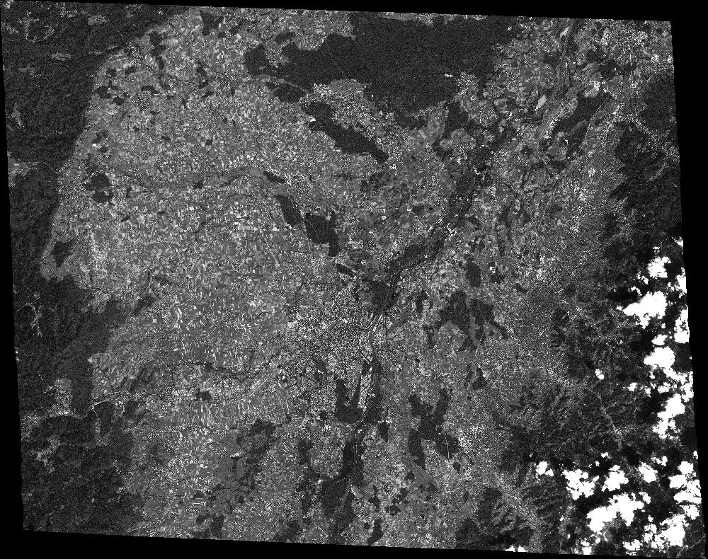
SPOT 7 PAN ORTHO_TOC 2015-08-21 10:23:09Z
ORTHO_TOC PAN image acquired by SPOT 7 on 2015-08-21 at 10:23:09Z
Simple
- Date (Creation)
- 2020-05-25T13:54:02Z
- Date (Publication)
- 2020-05-25T13:54:02Z
- Date (Revision)
- 2020-05-25T13:54:02Z
- Keywords
-
-
Dotcloud identifier: 3547972708406730
-
Kalideos
-
End time: 2015-08-21T10:23:09Z
-
Resolution: 1.25 m
-
PAN
-
Alsace
-
Baden-Württemberg
-
Moselle
-
Lorraine
-
SPOT 7
-
KALCNES
-
Germany
-
Bas-Rhin
-
France
-
Europe
-
ORTHO_TOC
-
NAOMI7
-
SPOT7_NAOMI7_P_ORTHO_TOC_20150821_102309
-
eo_image
-
optical
-
Incidence angle: 27.5981 deg.
-
N
S
E
W
))
Digital transfer options
- OnLine resource
-
Protocol Linkage Name WWW:LINK-1.0-http--related
https://www.kalideos.fr/drupal/features/13045040-64bd-56c2-9da4-40515876a5ec Description page
WWW:LINK-1.0-http--image-quicklook
https://www.kalideos.fr/map/products/20150821/3547972708406730/ql_3547972708406730.jpg Quicklook
WWW:LINK-1.0-http--image-thumbnail
https://www.kalideos.fr/map/products/20150821/3547972708406730/thumb_3547972708406730.jpg Thumbnail
WWW:LINK-1.0-http--license
https://www.kalideos.fr/map/products/Licenses/GEOSUD_SPOT67_2016_fr.pdf License
WWW:LINK-1.0-http--annexe
https://www.kalideos.fr/map/products/20150821/3547972708406730/annexes_SPOT7_NAOMI7_P_ORTHO_TOC_20150821_102309/index.html Annexe
Metadata
- File identifier
- 13045040-64bd-56c2-9da4-40515876a5ec XML
- Metadata language
-
en
- Hierarchy level
- Dataset
- Date stamp
- 2020-05-25T13:54:02Z
- Metadata standard name
-
ISO19115
- Metadata standard version
-
2003/Cor.1:2006
- Metadata author
-
Organisation name Individual name Electronic mail address Role Point of contact
)))
