 Catalogue DataGrandEst
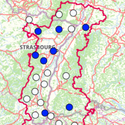
Centre of the areas with a managment plan
Upperrhine Regional Planning Documents - 2020 (SCOTs - RegionalPlan, Schéma Directeur...)
Simple
- Alternate title
-
Planification_regionale_centroide
- Date (Creation)
- 2020-10-30
- Date (Publication)
- 2020-10-30
- Citation identifier
- Planif_Planung_2020
- Status
- Completed
- Point of contact
-
Organisation name Individual name Electronic mail address Role GeoRhena
GeoRhena
Point of contact
- Maintenance and update frequency
- Annually
- Keywords
-
-
Open-Data
-
- Place
-
-
Upper Rhine
-
-
GEMET - INSPIRE themes, version 1.0
-
-
Utility and governmental services
-
Area management/restriction/regulation zones and reporting units
-
-
GEMET - Concepts, version 2.4
-
-
land setup
-
urban development document
-
development plan
-
- Use limitation
-
© + OSM contributors + Add GeoRhena logo in case of reuse
- Access constraints
- Other restrictions
- Use constraints
- Other restrictions
- Other constraints
-
No other limitation
- Spatial representation type
- Vector
- Denominator
- 100000
- Language
- English
- Character set
- UTF8
- Topic category
-
- Planning cadastre
- Begin date
- 2016-10-30
- End date
- 2020-10-30
))
- Distribution format
-
Name Version SHP GeoData
-
Digital transfer options
- OnLine resource
-
Protocol Linkage Name OGC:WMS
https://geoportal.georhena.eu/geoserver/planning/ows planification_regionale_centroide
OGC:WFS
https://geoportal.georhena.eu/geoserver/planning/ows planning:planification_regionale_centroide
WWW:DOWNLOAD-1.0-ftp--download
https://geoportal.georhena.eu/geoserver/planning/ows?request=GetFeature&service=WFS&typeName=planification_regionale_centroide&version=1.0.0&outputFormat=SHAPE-ZIP Téléchargement du Shapefile Téléchargement du Shapefile
- Hierarchy level
- Dataset
- Statement
-
GeoRhena + OSM contributors - 2020
Metadata
- File identifier
- 6c9f8bae-b6db-4fc2-a906-aa83bc712541 XML
- Metadata language
- Français
- Character set
- UTF8
- Hierarchy level
- Dataset
- Date stamp
- 2025-01-30T09:15:53.810854Z
- Metadata standard name
-
ISO 19115:2003/19139
- Metadata standard version
-
1.0
- Metadata author
-
Organisation name Individual name Electronic mail address Role GeoRhena: Geographical Information System of the Upper Rhine
Point of contact
- Other language
-
Language Character encoding German UTF8 English UTF8 French UTF8
)))
