 Catalogue DataGrandEst
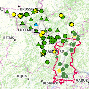
Interactive map of air quality
Interactive map showing the latest air quality data (PM10, PM2.5, nitrogen dioxide and ozone) for the Upper Rhine and Greater Region, aggregated over the year.
Simple
- Date (Publication)
- 2024-12-13T08:33:49
- Presentation form
- Digital map
- Status
- Completed
- Point of contact
-
Organisation name Individual name Electronic mail address Role GeoRhena
Author
- Language
- Français
- Topic category
-
- Environment
- Health
N
S
E
W
))
- Reference system identifier
- EPSG:3857
- Distribution format
-
Name Version OGC:OWS-C
Digital transfer options
- OnLine resource
-
Protocol Linkage Name WWW:LINK-1.0-http--related https://geoportal.georhena.eu/mapstore/#/viewer/openlayers/660 Air quality in the Upper Rhine region
Metadata
- File identifier
- 73fe4de4-42ef-42c3-b633-574c22381c29 XML
- Metadata language
-
fre
- Character set
- UTF8
- Hierarchy level
- interactiveMap
- Hierarchy level name
-
1.0
- Date stamp
- 2024-12-13T14:27:53.335377Z
- Metadata standard name
-
ISO 19115:2003/19139
- Metadata standard version
-
1.0
- Metadata author
-
Organisation name Individual name Electronic mail address Role GeoRhena
Author
- Other language
-
Language Character encoding German UTF8 English UTF8 French UTF8
)))
