 Catalogue DataGrandEst
3G - Proximus Luxembourg S.A.
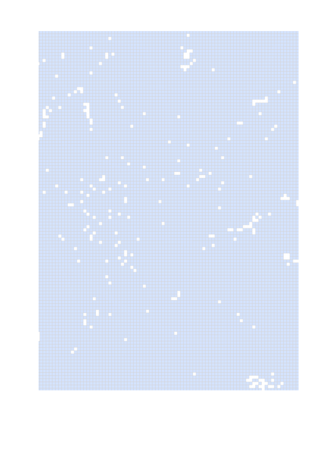
The ILR produces coverage maps of mobile networks for the different technologies from 2G to 5G. For the 3G technology of the mobile operator Proximus Luxembourg S.A., the coverage map for the qualities of service "satisfactory" for data, voice and SMS vservices per 100mx100m grid is documented. Network coverage maps in Luxembourg are produced in accordance with Article 26 of the law of 17 December 2021 on electronic communications networks and services. For more information, please see here [link to ILR website RGDR section].
Simple
- Date (Creation)
- Invalid DateT00:00:00
- Date (Revision)
- Citation identifier
- / 8a11d9b4-2274-4505-8b03-ff9f075d7470
- Presentation form
- Digital map
- Status
- On going
- Point of contact
-
Organisation name Individual name Electronic mail address Role Administration du Cadastre et de la Topographie
Administration du Cadastre et de la Topographie
info@act.pub info@act.public.lu
Author
- Maintenance and update frequency
- As needed
-
Entités au Grand-Duché de Luxembourg
-
-
Grand-Duché du Luxembourg
-
- Keywords
-
-
Mobile network coverage, Digital Luxembourg, Digital infrastructure, Mobile networks, 2G, 3G, 4G, 5G, National strategy for ultra-high-speed electronic communications networks, Connectivity, Telecommunications, Internet
-
-
Geoportail.lu themes
-
-
Main
-
-
Geoportail.lu structure
-
-
Main>Infrastructure and Communication>Electronic communication networks
-
- Keywords
-
-
geoportail.lu
-
intranet
-
- Access constraints
- Other restrictions
- Spatial representation type
- Vector
- Denominator
- 500
- Character set
- UTF8
))
- Reference system identifier
- EPSG / http://www.opengis.net/def/crs/EPSG/0/2169
- Distribution format
-
Name Version ShapefileTODO
- OnLine resource
-
Protocol Linkage Name OGC:WMS-1.3.0-http-get-map
https://wms.geoportail.lu/public_map_layers/service 2386
UKST
https://map.geoportail.lu/theme/main?version=3&zoom=10&X=688769&Y=6407330&lang=fr&rotation=0&layers=2386&opacities=1&bgLayer=basemap_2015_global&crosshair=false
- Hierarchy level
- Dataset
Metadata
- File identifier
- 9b019e2e-add4-48c7-924b-4c0392e7590b XML
- Metadata language
- Français
- Character set
- UTF8
- Hierarchy level
- Dataset
- Hierarchy level name
-
dataset
- Date stamp
- 2022-09-06T15:33:06
- Metadata standard name
-
ISO 19115:2003/19139
- Metadata standard version
-
1.0
- Metadata author
-
Organisation name Individual name Electronic mail address Role Institut Luxembourgeois de Régulation
Service Statistiques et Veille des Marchés
- Other language
-
Language Character encoding Luxembourgish; Letzeburgesch UTF8 English UTF8 German UTF8 French UTF8
Overviews
Spatial extent
Provided by