Catalogue DataGrandEst
Comptage du trafic cycliste sur les pistes cyclables
Vëlosverkéierszielung op Vëlosweeër
Bicycle traffic counting on cycle paths
Radverkehrszählung auf Radwegen
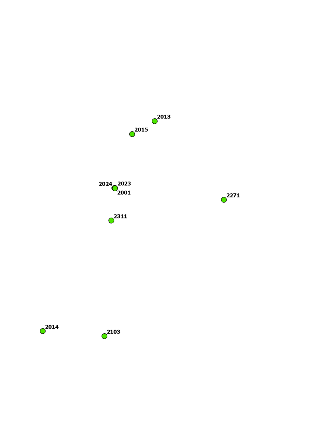
Cette couche localise les postes permanents de comptage du trafic cycliste installés sur le réseau des pistes cyclables.
Elle permet de visualiser les points de mesure utilisés pour la collecte continue de données relatives aux flux de cyclistes, à leur variation temporelle et à l’utilisation des infrastructures cyclables.
Dëse Layer weist d’Standuerter vun de permanente Zielstatioune fir de Vëlosverkéier am Netzwierk vun der Vëlosinfrastruktur.
Hien erméiglecht d’Visualiséierung vu Moospunkten fir déi kontinuierlech Erfaassung vun Donnéeën iwwer d’Vëlosverkéiersopkommes, zäitlech Schwankungen an d’Notzung vu Vëlosinfrastrukturen.
This layer shows the locations of permanent bicycle traffic counting stations installed on the cycle path network.
It enables the visualization of measurement points used for the continuous collection of data on cyclist flows, their temporal variation, and the use of cycling infrastructure.
Dieser Layer zeigt die Standorte der permanenten Zählstellen für den Radverkehr im Netz der Radverkehrsinfrastruktur.
Er ermöglicht die Visualisierung von Messpunkten zur kontinuierlichen Erfassung von Daten zu Radverkehrsaufkommen, zeitlichen Schwankungen und der Nutzung von Radverkehrsanlagen.
Simple
-
Date (Creation)Date (Creation)Datumsangaben (Erstellung)Date (Création)
- T00:00:00
-
Date (Revision)Date (Revision)Datumsangaben (Überarbeitung)Date (Révision)
-
Citation identifierCitation identifierIdentifikatorIdentificateur
- / 8a11d9b4-2274-4505-8b03-ff9f075d7470
-
Presentation formPresentation formPräsentationsformForme de la présentation
-
Digital mapDigital mapDigitale KarteCarte numérique
-
StatusStatusBearbeitungsstatusEtat
-
On goingOn goingKontinuierliche AktualisierungMise à jour continue
- Point of contact
-
Organisation name Individual name Electronic mail address Role Administration du Cadastre et de la Topographie
Administration du Cadastre et de la Topographie
AuthorAuthorAutorAuteur
-
Maintenance and update frequencyMaintenance and update frequencyÜberarbeitungsintervallFréquence de mise à jour
-
As neededAs neededBei BedarfLorsque nécessaire
-
Entités au Grand-Duché de Luxembourg
-
-
Grand-Duché du Luxembourg
Grand-Duché du Luxembourg
Grand-Duché du Luxembourg
Grand-Duché du Luxembourg
-
- Keywords
-
-
comptage vélo, trafic cycliste, piste cyclable, mobilité douce, poste de comptage, station de comptage, point de comptage, flux cycliste, infrastructure cyclable, données mobilité
Fahrradzählung, Radverkehr, Radweg, sanfte Mobilität, Zählstelle, Messstelle, Zählpunkt, Radverkehrsaufkommen, Radinfrastruktur, Mobilitätsdaten
bicycle counting, cycling traffic, cycle path, active mobility, counting station, monitoring station, counting point, cyclist flow, cycling infrastructure, mobility data
Fahrradzählung, Radverkehr, Radweg, sanfte Mobilität, Zählstelle, Messstelle, Zählpunkt, Radverkehrsaufkommen, Radinfrastruktur, Mobilitätsdaten
-
-
Geoportail.lu themes
-
-
Grand Public
Allgemeng
Main
Allgemein
-
- Keywords
-
-
geoportail.lu
geoportail.lu
geoportail.lu
geoportail.lu
-
gis-gr.eu
>gis-gr.eu
>gis-gr.eu
>gis-gr.eu
-
-
Access constraintsAccess constraintsZugriffseinschränkungenContraintes d'accès
-
Other restrictionsOther restrictionsBenutzerdefinierte EinschränkungenAutres restrictions
-
Spatial representation typeSpatial representation typeRäumliche DarstellungsartType de représentation spatiale
-
VectorVectorVektorVecteur
-
DenominatorDenominatorMaßstabszahlDénominateur de l'échelle
- 500
-
Character setCharacter setZeichensatzEncodage des caractères
-
UTF8UTF8Utf8Utf8
))
-
Reference system identifierReference system identifierIdentifikator des ReferenzsystemsNom du système de référence
-
EPSG
/
http://www.opengis.net/def/crs/EPSG/0/2169
- Distribution format
-
Name Version ShapefileTODO
Digital transfer options
Digital transfer options
Digitale Transferoptionen
Options de transfert numérique
- OnLine resource
-
Protocol Linkage Name UKST
https://map.geoportail.lu/theme/main?version=3&lang=lb&X=726355&Y=6408432&zoom=10&rotation=0&features=&layers=3406&opacities=1&time=&bgLayer=topo_bw_jpeg Comptage du trafic cycliste sur les pistes cyclables
Velosverkéierszielung op de Velospisten
Bicycle traffic counting on cycle paths
Radverkehrszählung auf Radwegen
-
Hierarchy levelHierarchy levelBezugsebeneNiveau
-
DatasetDatasetDatenbestandJeu de données
-
StatementStatementErläuterungGénéralités sur la provenance
- D'Stroossennimm entspriechen dem Inhalt vun der offieller Datebank fir Stroossennimm an Uertschaftsnimm, dem Registre National des Localités et des Rues (CACLR), deen och vun der ACT géréiert gëtt. D'Adresspunkten sinn am Zentrum vum gréisste Gebai oder am Zentrum vun den onbebauten Parzellen gesat. The street names correspond to the official national street names and town name register, the Registre National des Localités et des Rues (CACLR), which is also managed by ACT. The address points are placed in the respective centres of the largest building or of the parcel. Die Straßennamen entsprechen dem offiziellen nationalen Namensregister für Straßen und Ortschaften, dem Registre National des Localités et des Rues (CACLR), welcher ebenfalls von der ACT verwaltet wird. Die Adresspunkte befinden sich im Zentrum des grössten Gebäudes auf einer Parzelle, bzw im Zentrum der unbebauten Parzellen.
Metadata
-
File identifierFile identifierMetadatensatzidentifikatorIdentifiant de la fiche
- a1d0ff40-be0c-403b-b0fc-c78fe1f00425 XML
-
Metadata languageMetadata languageSpracheLangue
- Français
-
Character setCharacter setZeichensatzJeu de caractères
-
UTF8UTF8Utf8Utf8
-
Hierarchy levelHierarchy levelHierarchieebeneType de ressource
-
DatasetDatasetDatenbestandJeu de données
- Hierarchy level name
-
dataset
-
Date stampDate stampDatumDate des métadonnées
- 2026-05-21T14:59:05.066658Z
- Metadata standard name
-
ISO 19115:2003/19139
- Metadata standard version
-
1.0
- Metadata author
-
Organisation name Individual name Electronic mail address Role Administration des ponts et chaussées
Point of contactPoint of contactAnsprechpartnerPoint de contact
- Other language
-
Language Character encoding Luxembourgish; LetzeburgeschLuxembourgish; LetzeburgeschLuxemburgischLuxembourgeoisUTF8UTF8Utf8Utf8EnglishEnglishEnglischAnglaisUTF8UTF8Utf8Utf8GermanGermanDeutschAllemandUTF8UTF8Utf8Utf8FrenchFrenchFranzösischFrançaisUTF8UTF8Utf8Utf8
)))