 Catalogue DataGrandEst
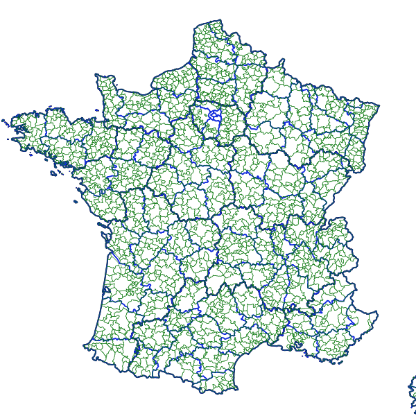
Métropole - Bassins de vie 2004
Le découpage de la France "en bassins de vie" a été réalisé pour faciliter la compréhension de la structuration du territoire de la France métropolitaine et mieux qualifier l'espace à dominante rurale.
Le bassin de vie est le plus petit territoire sur lequel les habitants ont accès à la fois aux équipements de la vie courante et à l'emploi.
Méthodologie : https://www.insee.fr/fr/statistiques/fichier/2115016/bassins-vie-2012-methodo.pdf
Plus d'info sur le site de l'INSEE : https://www.insee.fr/fr/information/2115016
Simple
- Date (Revision)
- 2014-01-07T15:26:00
- Point of contact
-
Organisation name Individual name Electronic mail address Role ARS Centre-Val de Loire
FORET Olivier
Distributor
- Access constraints
- Restricted
- Classification
- Unclassified
- Spatial representation type
- Vector
- Denominator
- 1000000
- Language
-
fre
- Character set
- UTF8
- Topic category
-
- Boundaries
))
- Distribution format
-
Name Version ZIP
Digital transfer options
Metadata
- File identifier
- d28c0b63-ccf5-436e-b2ff-fac06bc0e926 XML
- Metadata language
- Français
- Character set
- UTF8
- Hierarchy level
- Dataset
- Date stamp
- 2019-10-21T10:52:44
- Metadata standard name
-
ISO 19115:2003/19139
- Metadata standard version
-
1.0
)))