Catalogue DataGrandEst
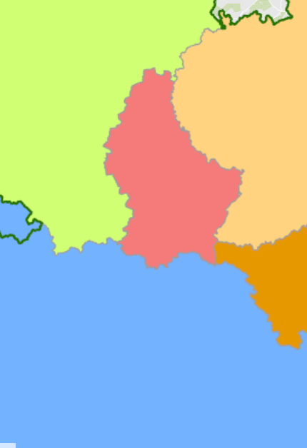
Spatial planning documents at national/regional/cantonal level 2024
- Spatial planning documents at national/regional/cantonal level in the Greater Region and the Upper Rhine 2024
- Sources: GeoRhena, MDI Rheinland-Pfalz, MIBS Saarland, Ministerium der Deutschsprachigen Gemeinschaft, MLOGAT-DATer Luxembourg, Région Grand Est, Service public de Wallonie 2024. Harmonization: GIS-GR 2024
Simple
- Date (Creation)
- 2024-06-05T00:00:00
- Citation identifier
- / 2a3e3905-dd4c-43bb-93df-cb7ee550f6bd
- Presentation form
- Digital map
- Status
- Completed
- Point of contact
-
Organisation name Individual name Electronic mail address Role SIG-GR - Ministère du Logement et de l'Aménagement du territoire - Département de l'aménagement du territoire
Thierry Hengen
Author
- Maintenance and update frequency
- As needed
- Keywords
-
-
Spatial planning, regional
-
-
Entités dans la Grande Région
-
-
Greater Region
-
-
gis-gr.eu themes
-
-
Spatial planning
-
-
gis-gr.eu structure
-
-
Spatial planning>Spatial planning documents
-
- Keywords
-
-
gis-gr.eu
-
- Access constraints
- Other restrictions
- Spatial representation type
- Vector
- Denominator
- 0
- Language
- Français
- Language
- English
- Language
- ltz
- Character set
- UTF8
- Topic category
-
- Planning cadastre
))
- Reference system identifier
- EPSG / http://www.opengis.net/def/crs/EPSG/0/3857
- Distribution format
-
Name Version SHAPE
PDF
JPEG
Digital transfer options
- OnLine resource
Metadata
- File identifier
- d6f72182-6d33-4b31-bdc1-79add68bc564 XML
- Metadata language
- Français
- Character set
- UTF8
- Hierarchy level
- Dataset
- Hierarchy level name
-
dataset
- Date stamp
- 2024-11-20T09:45:58
- Metadata standard name
-
ISO 19115:2003/19139
- Metadata standard version
-
1.0
- Metadata author
-
Organisation name Individual name Electronic mail address Role SIG-GR - Ministère du Logement et de l'Aménagement du territoire - Département de l'aménagement du territoire
Thierry Hengen
Point of contact
- Other language
-
Language Character encoding English UTF8 German UTF8 French UTF8
)))